New Satellite Images Show Widespread Road Building on Both Sides of the Disputed India-China Border

Before-and-after satellite images show key access roads on the Chinese side have been resurfaced or upgraded, and a new road has been constructed on the Yangtse Plateau from Tangwu New Village to within 150 metres of the LAC ridge. Image via ASPI.

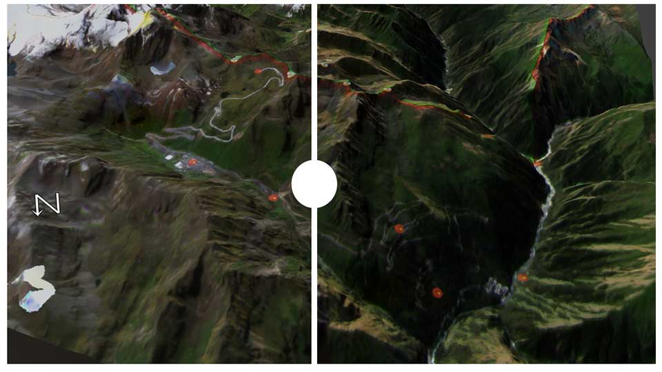
The Chinese and Indian militaries are building out transportation infrastructure high up in the Himalayas along their disputed border known as the Line of Actual Control, according to new satellite imagery published by the Australian Strategic Policy Institute.

“While India maintains control of the commanding position on the plateau’s high ground, China has compensated for this disadvantage by building new military and transport infrastructure that allows it to get troops quickly into the area,” the report said.

  • Get a daily email packed with the latest China-Africa news and analysis.
  • Read exclusive insights on the key trends shaping China-Africa relations.
  • Full access to the News Feed that provides daily updates on Chinese engagement in Africa and throughout the Global South.

China, Africa and the Global South... find out what’s happening.

Subscribe today for unlimited access.

What is The China-Global South Project?

Independent

The China-Global South Project is passionately independent, non-partisan and does not advocate for any country, company or culture.

News

A carefully curated selection of the day’s most important China-Global South stories. Updated 24 hours a day by human editors. No bots, no algorithms.

Analysis

Diverse, often unconventional insights from scholars, analysts, journalists and a variety of stakeholders in the China-Global South discourse.

Networking

A unique professional network of China-Africa scholars, analysts, journalists and other practioners from around the world.